Sedimentological Borehole Image Interpretation
What is the original sediment body geometry, and can different bedding types be determined?
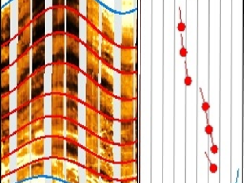
A stratigraphic interpretation provides lithological dip picking (e.g., mudstones, sandstones, carbonates, cross-bedding). This gives an overview which lithologies are present in which interval of the well.
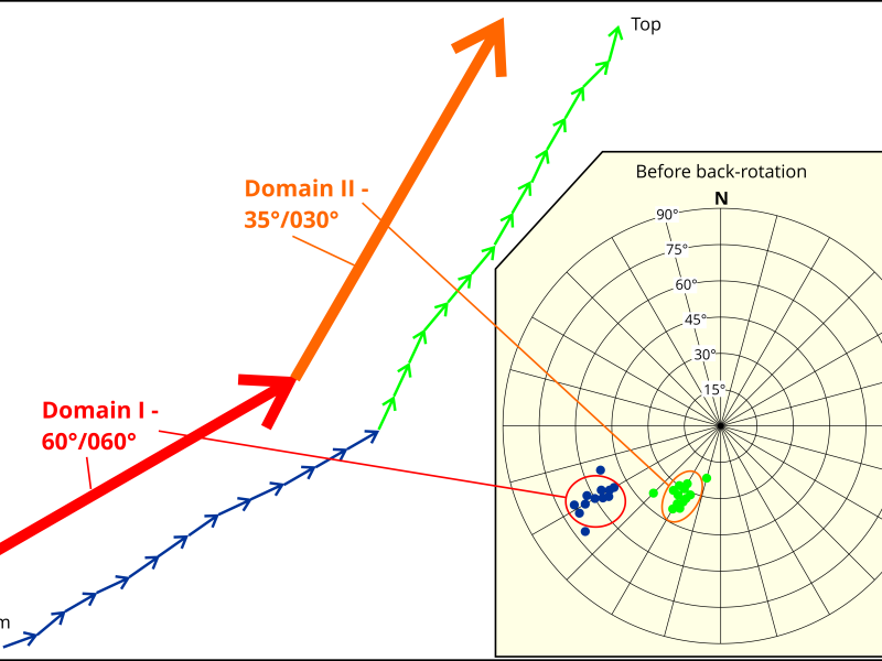
A structural dip determination from mudstone beds alone is complimentary in the basic stratigraphic interpretation. Single sediment bodies, e.g., cross-bedded intervals are back-rotated with the structural dip and show the dip at the time of deposition. This gives crucial information on the sediment body orientation and the depositional environment of the sediments.
Where are stratigraphic boundaries in the borehole?
Existing stratigraphic boundaries, i.e., from seismic interpretations or derived from borehole samples or open hole logs can be refined using stratigraphic borehole image interpretations.
Which Image Facies are present in the borehole?
The picking of image facies gives insights on the lithological and textural inventory in the well These evaluations can be refined further to litho-stratigraphic or sequence-stratigraphic intervals. Together with other markers, i.e., O/H data or poro-perm data the image facies interpretation gives information on pay zones.
Can Depositional Environments be derived from the Borehole Image Data?
Yes, with the help of borehole image facies, lithofacies associations and depositional environments can be derived. Additional information, e.g., electrofacies, stratigraphic intervals, core analyses may enhance the interpretation.
Can the results be correlated on the field scale?
The interpretation of depositional environments, the fixing of chronostratigraphic boundaries and sequence boundaries and associated data, e.g., can be correlated on the field scale. Borehole Image-derived marker horizons and target sediment bodies can be followed across the field and the internal architecture gets visible.
Which data can be integrated with a stratigraphic interpretation to enhance the output?
- Net/gross, Net-pay and Poro-Perm analyses
- Seal & Thin-bed analysis
- Petrographic analysis of cores
- Outcrop analogues
- Integration of core interpretation: image facies, lithotyping and definition of sedimentary bedding and structures can be calibrated. On the other hand, the core coverage can be expanded by using the borehole images

